
Browse Items (45 total)
- Collection: Maps
Sort by:
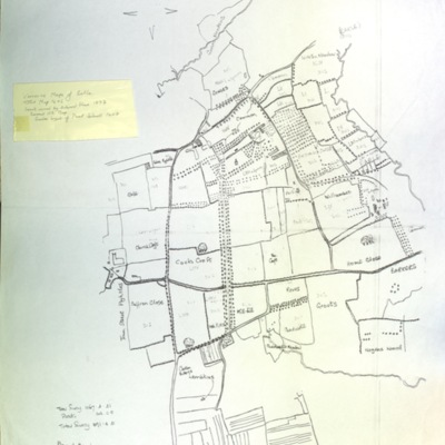
Supply of Electricity to Reepham
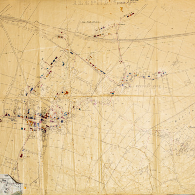
Map printed on linen showing plans for the supply of electricity to properties in Reepham. Shops and houses are marked in colour. Reepham was one of the first rural towns in the country to get electricity.
Map of Salle parish, centre
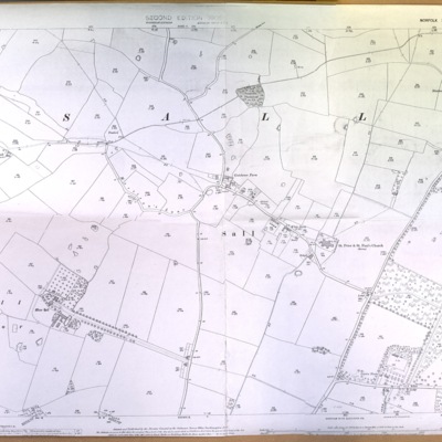
Copy of Ordnance Survey map, scale 1:2500, ref. XXXVIII-2
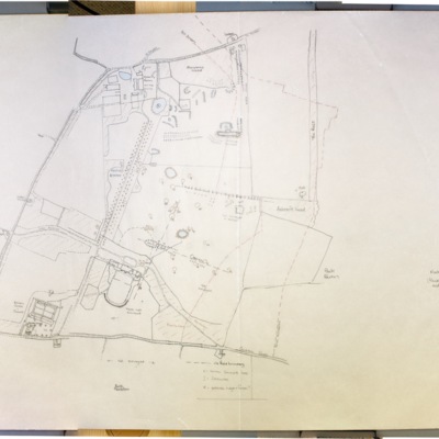
Map of Salle parish, east
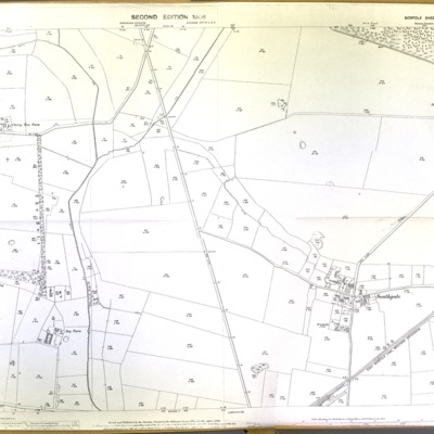
Copy of Ordnance Survey map, scale 1:2500, 1906, ref. XXXVIII-3, Salle Park to Southgate
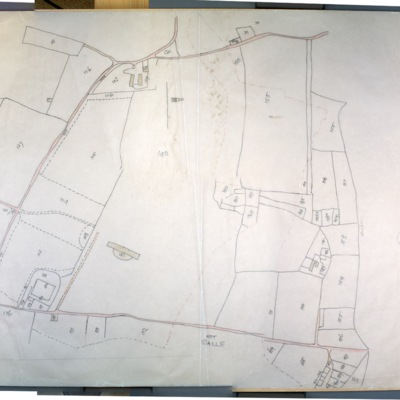
Map of Salle parish, east, including Southgate
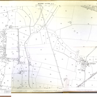
Ordnance Survey map, scale 1:2500, surveyed 1884
Ordnance Survey map of Reepham, 1891
Ordnance Survey, scale 1:2500, 1891, Norfolk Sheet XXXVIII N.W., surveyed in 1884
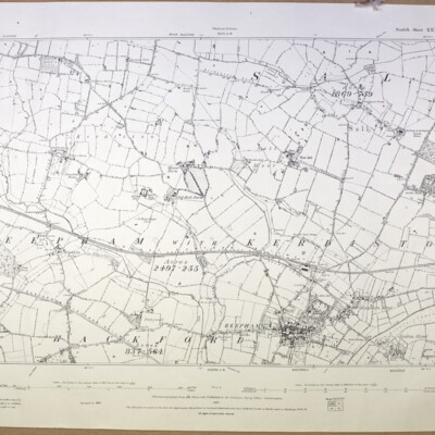
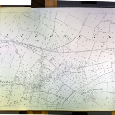
Ordnance Survey map of Reepham with Kerdiston 1907
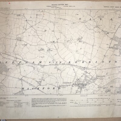
Ordnance Survey, scale 1:2500, 1907, Norfolk Sheet XXXVIII N.W., second edition, surveyed in 1884, revised 1904-05. Includes parts of Salle and Hackford
Ordnance Survey map of Reepham, southeast, 1975
Ordnance Survey map, 1975, showing Bar Lane to Furze Lane, scale 1:2500, ref. TG 1022-1122.
Ordnance Survey map of Reepham, north, 1975
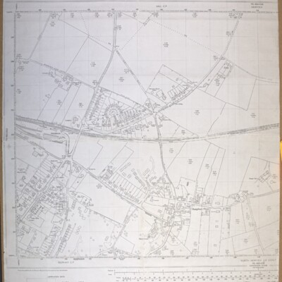
Ordnance Survey map, 1975, scale 1:2500, ref. TG 1023-1123
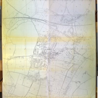
Ordnance Survey map of Reepham, north, 1990
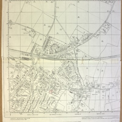
Ordnance Survey, revised March 1990, scale 1:2500, ref. TG 1023
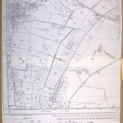
Ordnance Survey map of Reepham, west, 1978
Ordnance Survey map, showing Catchback Lane, 1978, scale 1:2500, ref. TG 0823-0923
Ordnance Survey map showing Booton, Brandiston, Cawston, Little Witchingham, 1984
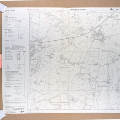
Ordnance Survey map showing Booton, Brandiston, Cawston, Little Witchingham, 1984, scale 1:10000, ref. TG 12 SW
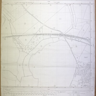
Ordnance Survey map, Reepham, c.1975
Ordnance Survey c.1975, ref. St Faith’s and Aylsham No. 2 (Reepham) E D, No. 12 Ward
Reepham, Kerdiston, Ordnance Survey map, 1886
Ordnance Survey map, 1886, scale 1:2500, ref. XXXVIII 6
Reepham with Kerdiston, Ordnance Survey map, 1906
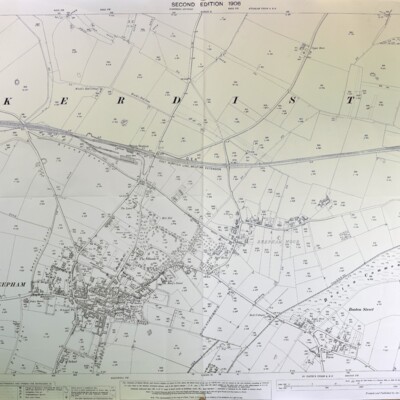
Ordnance Survey, 1906, scale 1:2500, Norfolk Sheet XXXVIII 6, second edition, surveyed in 1884, revised in 1904-05
Whitwell, Ordnance Survey map, 1906, showing Whitwell Hall and Hackford Hall
Whitwell, showing Hackford and Whitwell Halls, Ordnance Survey, 1906, scale 1:2500, Norfolk Sheet XXXVIII 9, surveyed in 1891-94, revised in 1905.
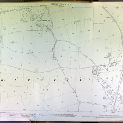
Whitwell, Ordnance Survey map, 1906

Ordnance Survey 1906, second edition, scale 1:2500, Norfolk Sheet XXXVIII 10, surveyed in 1891-94, revised in 1905
Whitwell Common, 1905
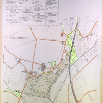
Tracing made by Kate Nightingale made 5 March 1993 of a map belonging to Mr Tony Ivins of Whitwell Hall. See also GB/REE/2108041645, Occupants of Whitwell Common Cottages in 1905 & 1971 by Ann Middlemas