
Browse Items (45 total)
- Collection: Maps
Sort by:
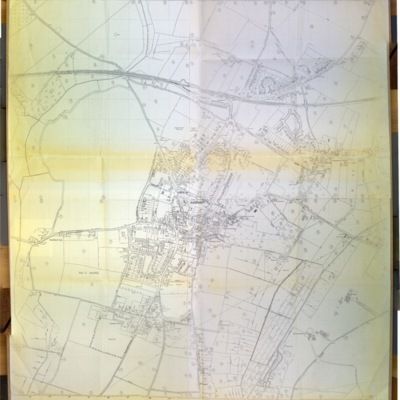
Ordnance Survey map of Reepham, 1891
Ordnance Survey, scale 1:2500, 1891, Norfolk Sheet XXXVIII N.W., surveyed in 1884
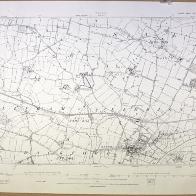
Ordnance Survey map of Reepham with Kerdiston 1907
Ordnance Survey, scale 1:2500, 1907, Norfolk Sheet XXXVIII N.W., second edition, surveyed in 1884, revised 1904-05. Includes parts of Salle and Hackford
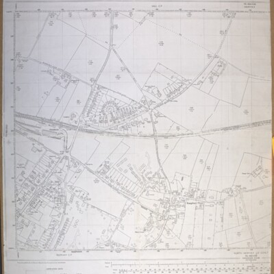
Ordnance Survey map of Reepham, southeast, 1975
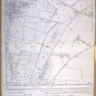
Ordnance Survey map, 1975, showing Bar Lane to Furze Lane, scale 1:2500, ref. TG 1022-1122.
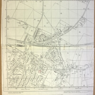
Ordnance Survey map of Reepham, north, 1975
Ordnance Survey map, 1975, scale 1:2500, ref. TG 1023-1123
Ordnance Survey map of Reepham, north, 1990
Ordnance Survey, revised March 1990, scale 1:2500, ref. TG 1023
Ordnance Survey map of Reepham, west, 1978
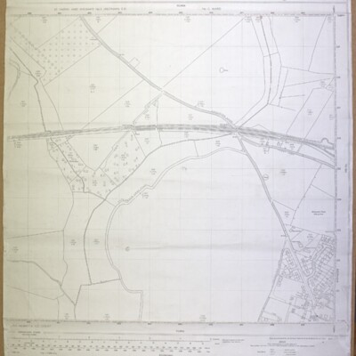
Ordnance Survey map, showing Catchback Lane, 1978, scale 1:2500, ref. TG 0823-0923
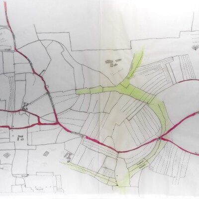
Ordnance Survey map showing Booton, Brandiston, Cawston, Little Witchingham, 1984
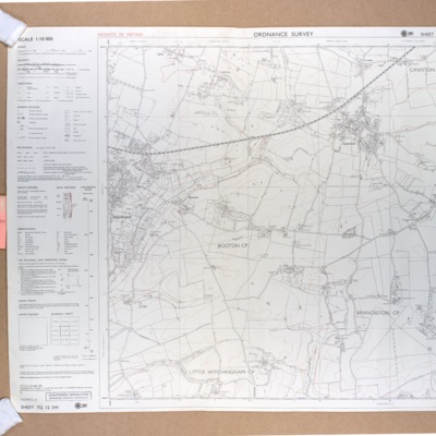
Ordnance Survey map showing Booton, Brandiston, Cawston, Little Witchingham, 1984, scale 1:10000, ref. TG 12 SW
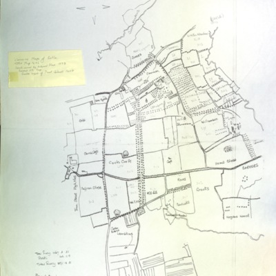
Ordnance Survey map, Reepham, c.1975
Ordnance Survey c.1975, ref. St Faith’s and Aylsham No. 2 (Reepham) E D, No. 12 Ward
Reepham, Kerdiston, Ordnance Survey map, 1886
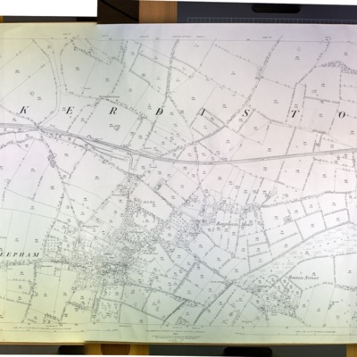
Ordnance Survey map, 1886, scale 1:2500, ref. XXXVIII 6
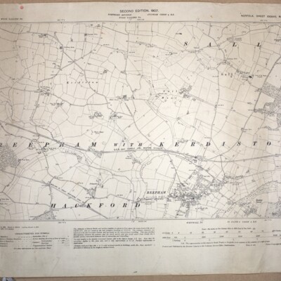
Reepham with Kerdiston, Ordnance Survey map, 1906
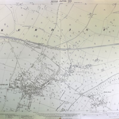
Ordnance Survey, 1906, scale 1:2500, Norfolk Sheet XXXVIII 6, second edition, surveyed in 1884, revised in 1904-05
Whitwell, Ordnance Survey map, 1906, showing Whitwell Hall and Hackford Hall
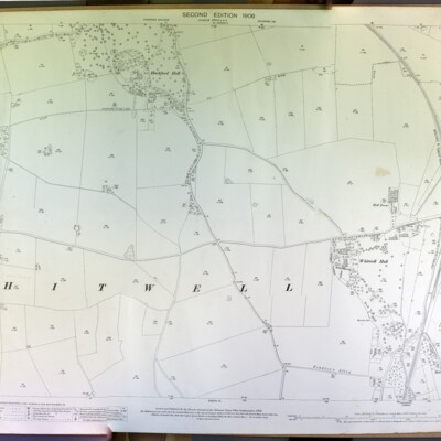
Whitwell, showing Hackford and Whitwell Halls, Ordnance Survey, 1906, scale 1:2500, Norfolk Sheet XXXVIII 9, surveyed in 1891-94, revised in 1905.
Whitwell, Ordnance Survey map, 1906

Ordnance Survey 1906, second edition, scale 1:2500, Norfolk Sheet XXXVIII 10, surveyed in 1891-94, revised in 1905
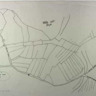
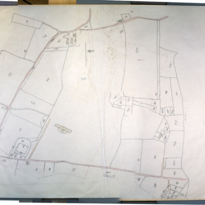
Whitwell, tithe map, 1844
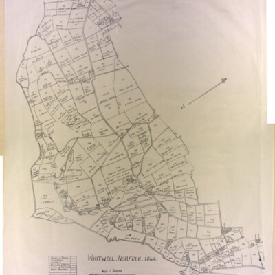
Original (not scanned) and tracing by Kate Nightingale
Wood Dalling Ordnance Survey map, 1978
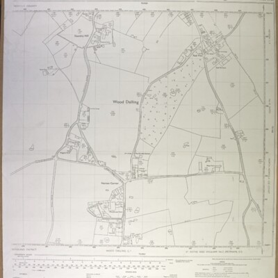
Wood Dalling centre (Norton Corner), Ordnance Survey, 1978, scale 1:2500, ref. TG 0828-0928
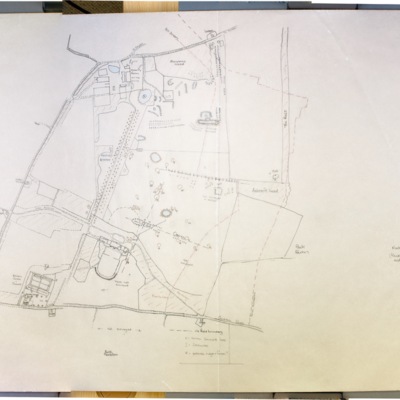
Thurning Ordnance Survey map, 1906, showing Thurning Hall and church
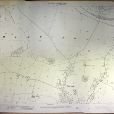
Thurning, Ordnance Survey, 1906, second edition, surveyed in 1885, revised in 1905, scale 1:2500, ref. Norfolk Sheet XXVII 5, showing Thurning Hall and church.