
Browse Items (1030 total)
Sort by:
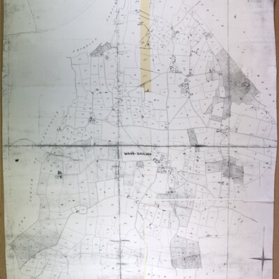
Thurning Ordnance Survey map, 1906, showing Thurning Hall and Tyby
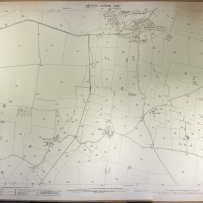
Thurning, Ordnance Survey, 1906, second edition, surveyed in 1884-85, revised in 1905, scale 1:2500, ref. Norfolk Sheet XXVII 9, showing Thurning Hall and Tyby.
Thurning Ordnance Survey map, 1906, showing Thurning Hall and church
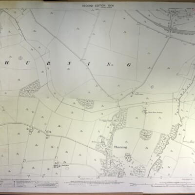
Thurning, Ordnance Survey, 1906, second edition, surveyed in 1885, revised in 1905, scale 1:2500, ref. Norfolk Sheet XXVII 5, showing Thurning Hall and church.
Wood Dalling Ordnance Survey map, 1978
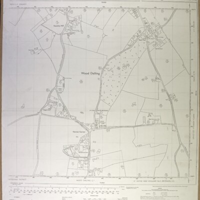
Wood Dalling centre (Norton Corner), Ordnance Survey, 1978, scale 1:2500, ref. TG 0828-0928
St Michael's Building Project

Report from EDP of St. Michael's revamp in 2010, plus 3-fold pamphlet explaining changes to be made. Further cutting from 2011 reporting on RIBA award made to Norwich's A Squared architects.
Whitwell, tithe map, 1844
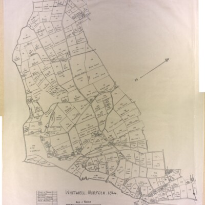
Original (not scanned) and tracing by Kate Nightingale
Whitwell Common, 1905
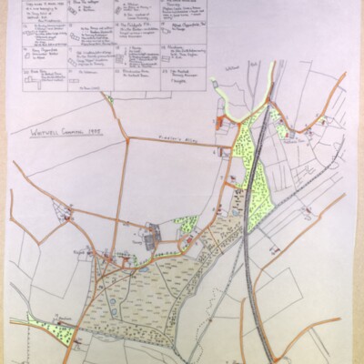
Tracing made by Kate Nightingale made 5 March 1993 of a map belonging to Mr Tony Ivins of Whitwell Hall. See also GB/REE/2108041645, Occupants of Whitwell Common Cottages in 1905 & 1971 by Ann Middlemas
Whitwell, Ordnance Survey map, 1906

Ordnance Survey 1906, second edition, scale 1:2500, Norfolk Sheet XXXVIII 10, surveyed in 1891-94, revised in 1905
Whitwell, Ordnance Survey map, 1906, showing Whitwell Hall and Hackford Hall
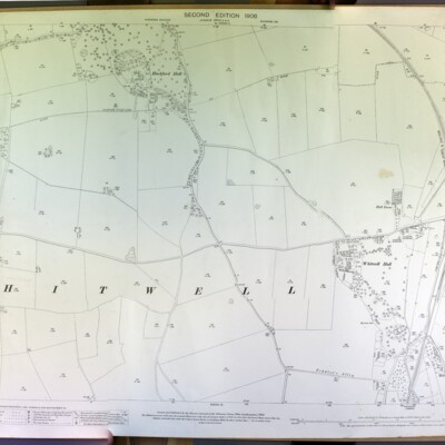
Whitwell, showing Hackford and Whitwell Halls, Ordnance Survey, 1906, scale 1:2500, Norfolk Sheet XXXVIII 9, surveyed in 1891-94, revised in 1905.
Reepham Moor

A comprehensive history of Reepham Moor, including an account of Moor House, tithes and dwellings on The Moor.
William Alfred Pask – Tailor
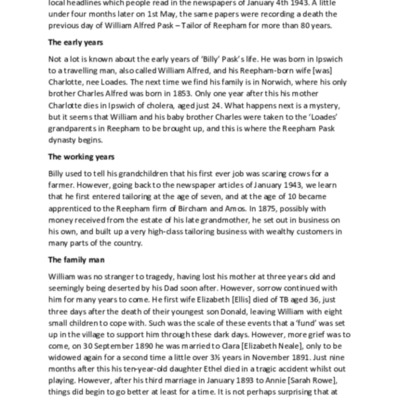
An account of the life of Reepham tailor William Alfred Pask, 1851-1943
Hackford House Scouts

A second picture of the scouts in front of Hackford House in 1911, including Amy Rump on a pony. Taken in the same year that the Hackford House Troop attended the King's Rally at Windsor.
Inventory of Church Goods

Transcription of an inventory made in the 14th century. The list includes books, vestments and silver held by St. Mary's. Very few items listed for All Saints & St. Michael's.
Second sheet giving explanations of some of the terms.
Second sheet giving explanations of some of the terms.
Reepham Carnival Day 1972

Handwritten programme of events with advertisements from local businesses. Randells are advertising colour televisions.
Reepham with Kerdiston, Ordnance Survey map, 1906
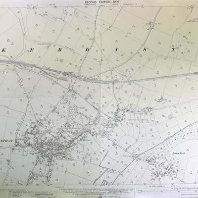
Ordnance Survey, 1906, scale 1:2500, Norfolk Sheet XXXVIII 6, second edition, surveyed in 1884, revised in 1904-05
Reepham, Kerdiston, Ordnance Survey map, 1886
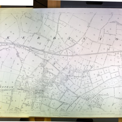
Ordnance Survey map, 1886, scale 1:2500, ref. XXXVIII 6
Ordnance Survey map, Reepham, c.1975
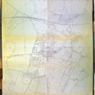
Ordnance Survey c.1975, ref. St Faith’s and Aylsham No. 2 (Reepham) E D, No. 12 Ward
Ordnance Survey map showing Booton, Brandiston, Cawston, Little Witchingham, 1984
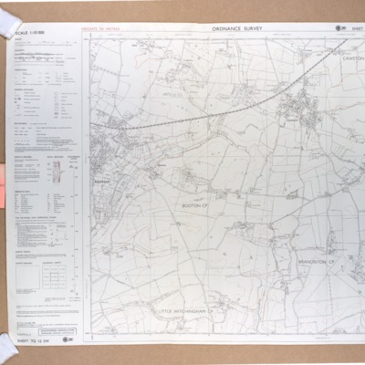
Ordnance Survey map showing Booton, Brandiston, Cawston, Little Witchingham, 1984, scale 1:10000, ref. TG 12 SW
Ordnance Survey map of Reepham, west, 1978
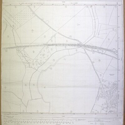
Ordnance Survey map, showing Catchback Lane, 1978, scale 1:2500, ref. TG 0823-0923
Ordnance Survey map of Reepham, north, 1990
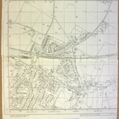
Ordnance Survey, revised March 1990, scale 1:2500, ref. TG 1023