
Browse Items (2 total)
Sort by:
17th Century Map
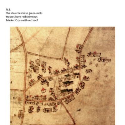
Photocopies of parts of a 17th century map of Hackford, Whitwell & Reepham, but does not include Reepham Moor or Kerdiston. It shows land in strips labelled with H, W & R representing each parish. On the colour copy some houses have chimneys shown…
Knitting School in Reepham 1622
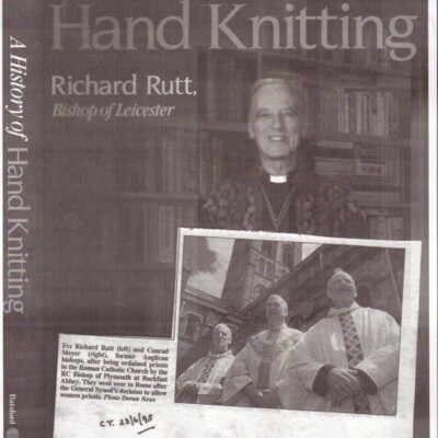
In 'A History of Hand Knitting' by Richard Rutt, page 77, it reads: In 1622 the justices for Aylesham, Reepham, Eynesford and South Erpingham in northern Norfolk ordered that poor children be put to school to knitting and spinning dames, under the…