
Browse Items (1030 total)
Sort by:
1945 Royal Visit : Reepham Junior Band
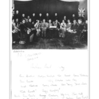
Group photograph with names listed on the back
Cricket Team 1900s
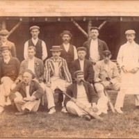
Group of twelve men in cricket whites and blazers in front of an open pavilion.
Likely to be a Reepham Cricket Team.
Likely to be a Reepham Cricket Team.
Well Found at Whitwell Hall
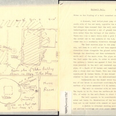
Notes on the finding of a well unmarked on an unknown plan of the Whitwell Hall Estate together with a sketch map of the site.
Occupants of Whitwell Common Cottages in 1905 & 1971

Comparison between 1905 & 1971 of the population living around Whitwell Common. Each house/cottage is listed with its occupants and state, i.e. empty, demolished. Compiled in 1971 from information given by George Anderson architect, who was…
Tony Ivins on Whitwell - Part 1

Based on a talk on the history of Whitwell parish given to the Reepham Society
Reepham Band Members
Notes of band members appearing in a series of 21 photographs in the Reepham Society Collection.
The names are given as the tags for this item.
The names are given as the tags for this item.
Whitwell Common, 1905
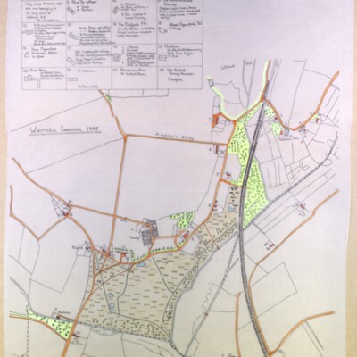
Tracing made by Kate Nightingale made 5 March 1993 of a map belonging to Mr Tony Ivins of Whitwell Hall. See also GB/REE/2108041645, Occupants of Whitwell Common Cottages in 1905 & 1971 by Ann Middlemas
Wood Dalling tithe map, 1841
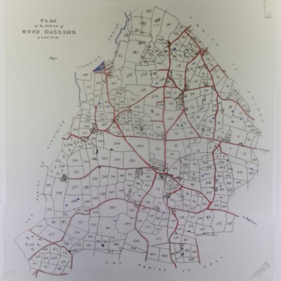
With owners’ list (not found) and slightly reduced tracing
My Town
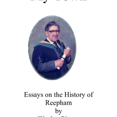
Historical background of Reepham & surrounding parishes with detailed personal recollections from the 1920s & 1930s of the streets, shops, trades, buildings, residents & notable characters.
Topic Headings:-
Reepham Market Place & Trade 1920-1939…
Topic Headings:-
Reepham Market Place & Trade 1920-1939…
Reepham Sixty Years Ago
A personal account of Reepham in the 1920s by Wesley Piercy published in Reepham Society Newsletter June 1984
Further reminiscences of The Ollands
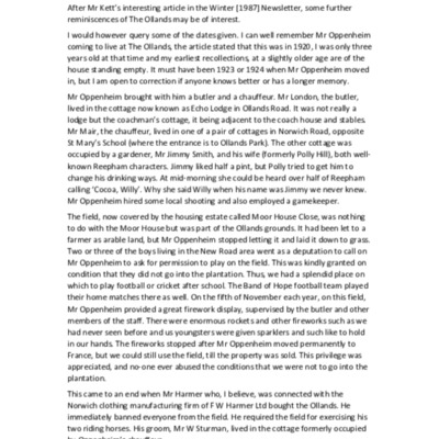
From an article published in the Reepham Society Newsletter, Summer 1988
The Story of Reepham Methodist Chapel
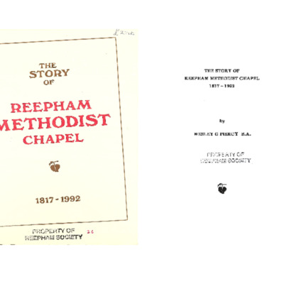
Comprehensive history of the Methodist Chapel which stands on Station Road at the Kerdiston Road turning.
Why Reepham?

Speculation on the origins of Reepham, including why does Reepham stand where it does? Why is it so different from the surrounding parishes? Why did its churchyard contain three churches?
Letter concerning fee farm rents for North Walsham School
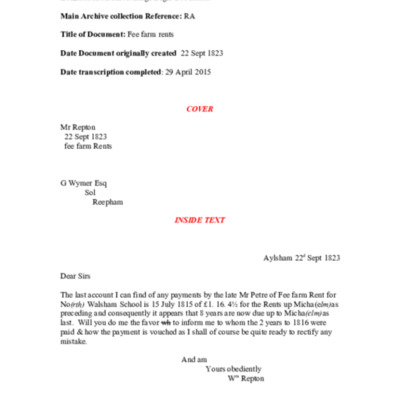
Letter with transcript from William Repton to G Wymer, a solicitor with offices in Reepham.
William Repton was the fourth son of Humphry Repton and lived in Aylsham for many years.
Tr.Ref.No. MC_001-LETT
William Repton was the fourth son of Humphry Repton and lived in Aylsham for many years.
Tr.Ref.No. MC_001-LETT
Parish Pump

The first newsletter of Reepham Parish Council
The Three Churches of Reepham
A history of the three churches of Reepham: St Mary's Reepham, St Michael's Whitwell and All Saints Hackford
The Bircham Centre

Short history of the Bircham Centre
Miss Jessie Brown MBE

The life story of Jessie Brown, who died in 1983, and was instrumental in founding the Reepham Housing Trust
The Bircham Centre

An update on the current state of the Bircham Centre.