
Browse Items (69 total)
- Collection: Norfolk Heritage Explorations
Sort by:
The Sun Inn
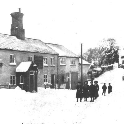
Early photograph of the Sun Inn in the snow, looking towards Towns End. The Market Room sign is visible, used for transactions on Market Day.
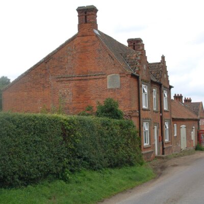
Bar Lane
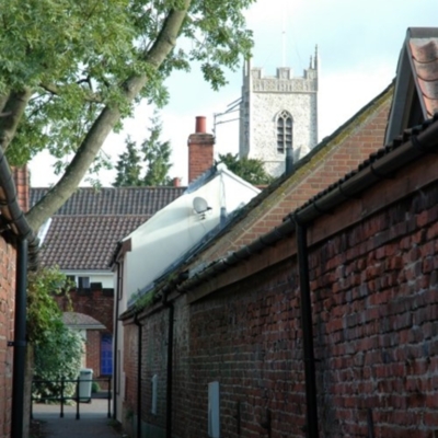
Bar Lane, previously known as Gracious Street (?) leads from Back Street to Whitwell Street.
Austins Barn, Whitwell Street
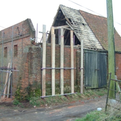
An 18th century barn being restored in 2004. Initials & date - WB 1785 - on the gable end, probably indicate that it was built & owned by William Bircham (c1735-1813).
Also known as Dairy Farm Barn.
Also known as Dairy Farm Barn.
Whitwell Hall
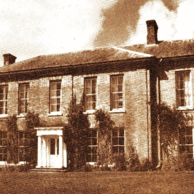
Twentieth century photograph of the hall. Currently an educational establishment offering camping & open air experiences to school pupils.
Whitwell Hall
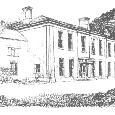
Drawing of the hall, once the home of the Leamon family.
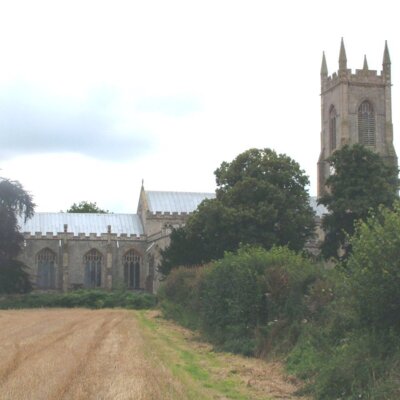
St. Mary's & St. Michael's
The two churches from Back Street. Note the height of the churchyard from the road.
The Bays & Swiss Cottage
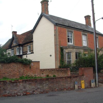
The Bays, on Norwich Road, stretches back into Swiss Cottage. The two houses are now separated but were extended from an earlier half-timbered house, largely hidden from the outside.
Norwich Road
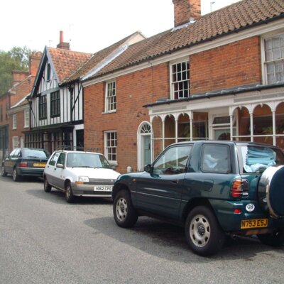
A further view of Norwich Road looking away from the town. Beaver House was a grocer & draper, and the Tudor style house belonged to a boot & shoe repairer.
Norwich Road
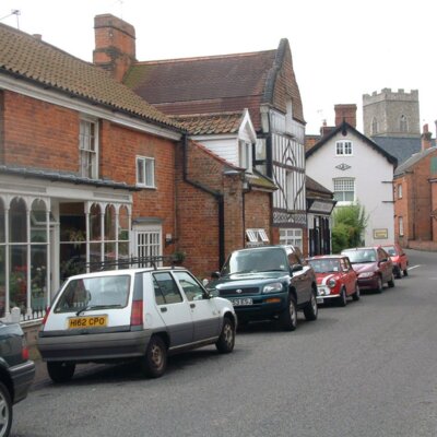
Row of cottages & shops on Norwich Road, looking towards the churches. Many were given new frontages in the nineteenth century. Beaver House is the nearest.
Village Hall, Salle
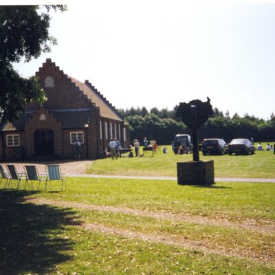
The institute and cricket ground in Salle. The hall was erected in memory of Lynton Woolmer White who was killed in WWI.
Salle Park
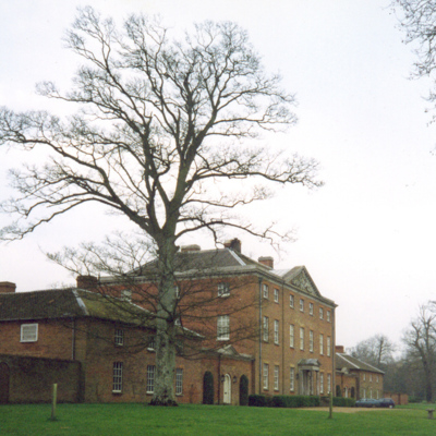
Front of the house at Salle Park.
Salle Park
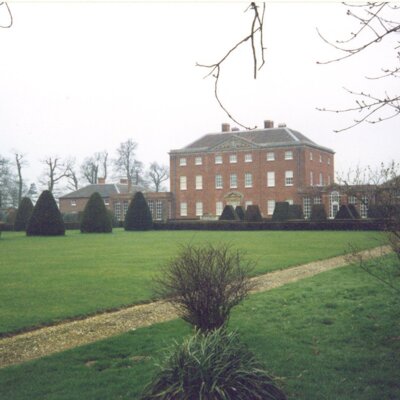
The house viewed across the park.
St. Peter & St. Paul Church
View of Salle Church from the south east.
Salle Street
View from the church showing the private house that was once the White Horse public house.
HSBC Bank
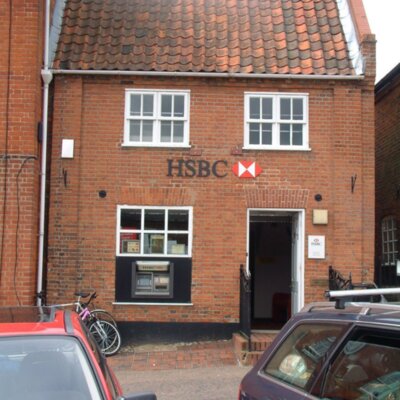
This building in the Market Place is now home to Motts Pharmacy. John Ebenezer Hall, the saddler, lived here after he retired from his business next door. In the nineteenth century it was home & workshop to at least two watchmakers, John Shreeve…
East Window in St. Michael's Church
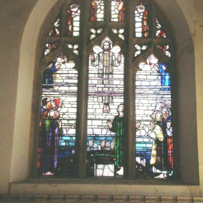
The east window was completed in the early 1920s as part of the Hackford & Whitwell War Memorial.
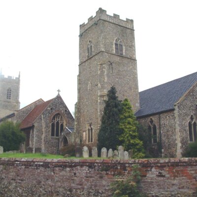
Booton Church
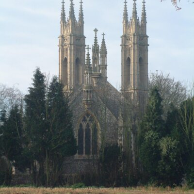
View of the elaborate towers of St. Michael's Church, Booton. The Rev. Whitwell Elwin rebuilt the church over a period of thirty years from 1870 until his death in 1900.
Booton Village Sign
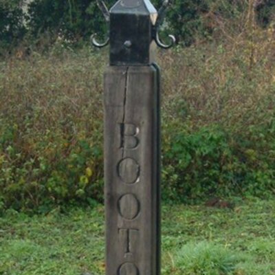
Erected in 2000.
Aerial View of Reepham
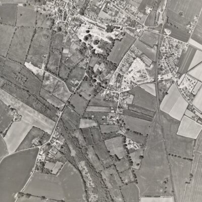
This black & white aerial photograph shows the centre of Reepham at the very top extending to Booton at the bottom. Two very white patches show initial work in process on what was the Ollands estate and also on the Richmond Rise site. Crown Meadow is…
Aerial View of Reepham Market Place
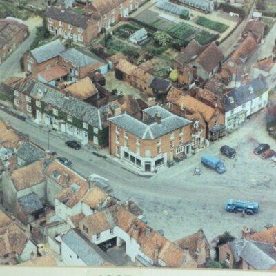
An undated view. Barclay's Bank still with its white facade and the Methodist Chapel still in existence on Chapel Walk/Fishers Alley.