
Browse Items (1011 total)
Sort by:
Ollands House
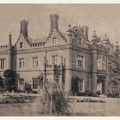
Ollands House, Reepham was still occupied by members of the Bircham family in 1860 but later occupied by Mr. & Mrs. John Kendrew.
The photograph was taken in the 1860s by Edward Makinson Haigh (1826-1897).
Later views show an extra wing…
The photograph was taken in the 1860s by Edward Makinson Haigh (1826-1897).
Later views show an extra wing…
William Alfred Pask – Tailor
An account of the life of Reepham tailor William Alfred Pask, 1851-1943
Life in The Foldgate Inn

Information given by the Egmores who ran The Foldgate in the 1950s & 60s.
Refer to Fifteen Locals by Joyce Cox for more information.
Refer to Fifteen Locals by Joyce Cox for more information.
Threshing Machine Model

Early photograph, taken before 1934, with a presentation border. It shows the threshing model 'steamed up' suggesting that it was a fully workable model. The model was made by Fred J, Gibbs, nephew of Edward Gibbs.
Lithograph of Reepham Bridge 1831
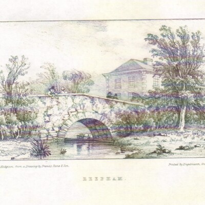
A copy of a lithograph published by Stone & Hodgson in 'The Picturesque Views of all the Bridges belonging to the County of Norfolk' based on detailed accurate drawings made by Francis Stone (1765-1835).
Thought to be the bridge over Booton Beck…
Thought to be the bridge over Booton Beck…
Reepham Life Calendar 2015
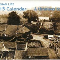
A4 format calendar with historical photographs and smaller modern colour photographs of the same view together with notes and page per month layout.
Reepham Life Calendar 2014
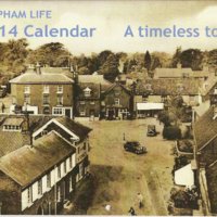
A4 format calendar with historical photographs and smaller modern colour photographs of the same view with notes and page per month layout.
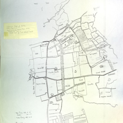
Ordnance Survey map of Reepham, 1891
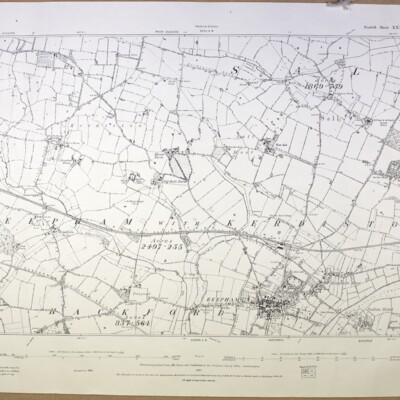
Ordnance Survey, scale 1:2500, 1891, Norfolk Sheet XXXVIII N.W., surveyed in 1884
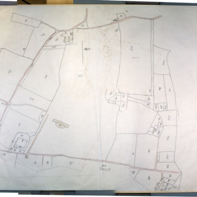
Ordnance Survey map of Reepham with Kerdiston 1907
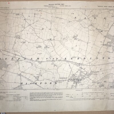
Ordnance Survey, scale 1:2500, 1907, Norfolk Sheet XXXVIII N.W., second edition, surveyed in 1884, revised 1904-05. Includes parts of Salle and Hackford
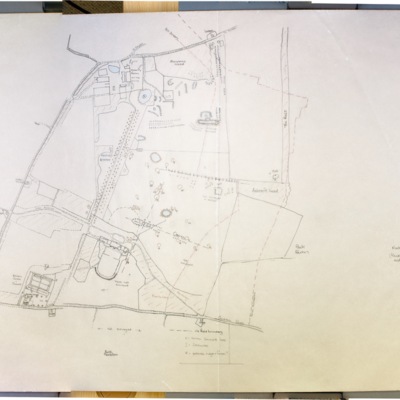
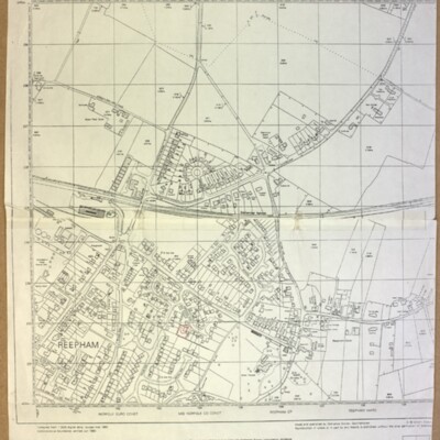
Ordnance Survey map of Reepham, southeast, 1975
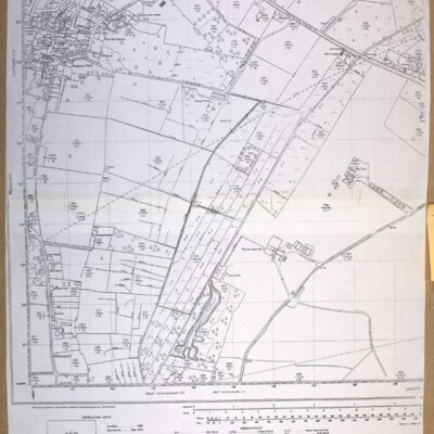
Ordnance Survey map, 1975, showing Bar Lane to Furze Lane, scale 1:2500, ref. TG 1022-1122.
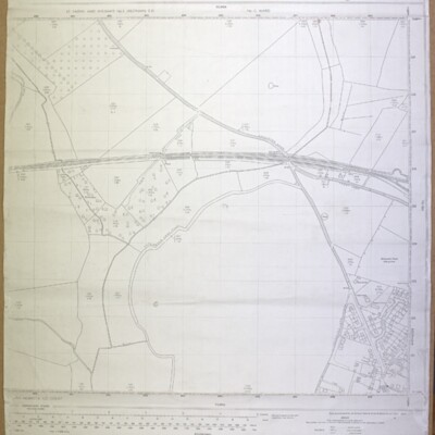
Ordnance Survey map of Reepham, north, 1975
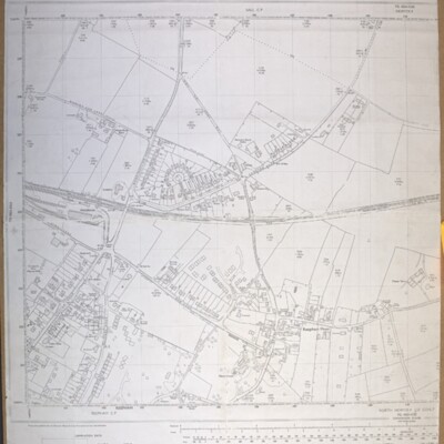
Ordnance Survey map, 1975, scale 1:2500, ref. TG 1023-1123
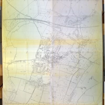
Ordnance Survey map of Reepham, north, 1990
Ordnance Survey, revised March 1990, scale 1:2500, ref. TG 1023
Ordnance Survey map of Reepham, west, 1978
Ordnance Survey map, showing Catchback Lane, 1978, scale 1:2500, ref. TG 0823-0923
Ordnance Survey map showing Booton, Brandiston, Cawston, Little Witchingham, 1984
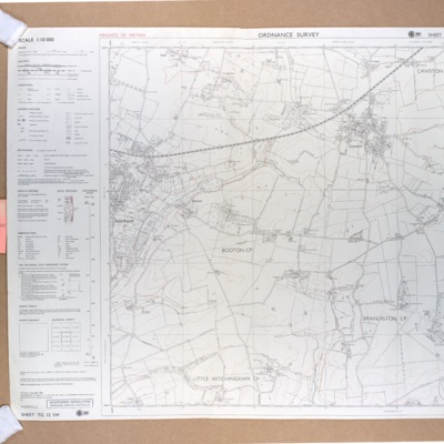
Ordnance Survey map showing Booton, Brandiston, Cawston, Little Witchingham, 1984, scale 1:10000, ref. TG 12 SW
Ordnance Survey map, Reepham, c.1975
Ordnance Survey c.1975, ref. St Faith’s and Aylsham No. 2 (Reepham) E D, No. 12 Ward
Reepham, Kerdiston, Ordnance Survey map, 1886
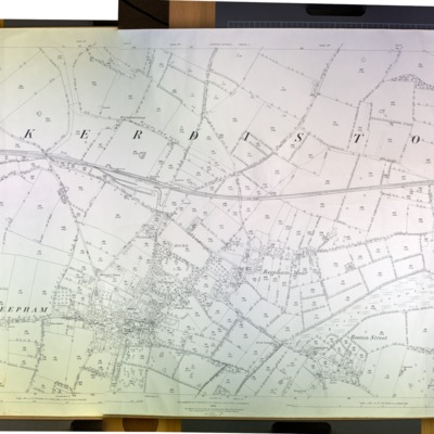
Ordnance Survey map, 1886, scale 1:2500, ref. XXXVIII 6
Reepham with Kerdiston, Ordnance Survey map, 1906
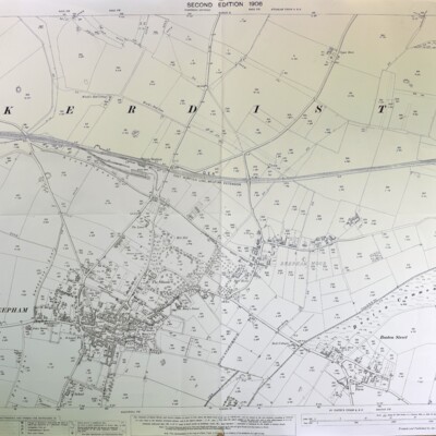
Ordnance Survey, 1906, scale 1:2500, Norfolk Sheet XXXVIII 6, second edition, surveyed in 1884, revised in 1904-05